A DAS specification can look precise while leaving the buyer unsure what a patrol team will actually receive. A long range, closely spaced channels and a small location-error figure describe different things. Combining them into a single promise creates avoidable procurement risk.
This guide explains how to read those parameters for perimeter protection. The practical objective is to purchase useful, demonstrable alarm information along your installed route, with enough detail to support a response.
What does the advertised DAS range actually measure?
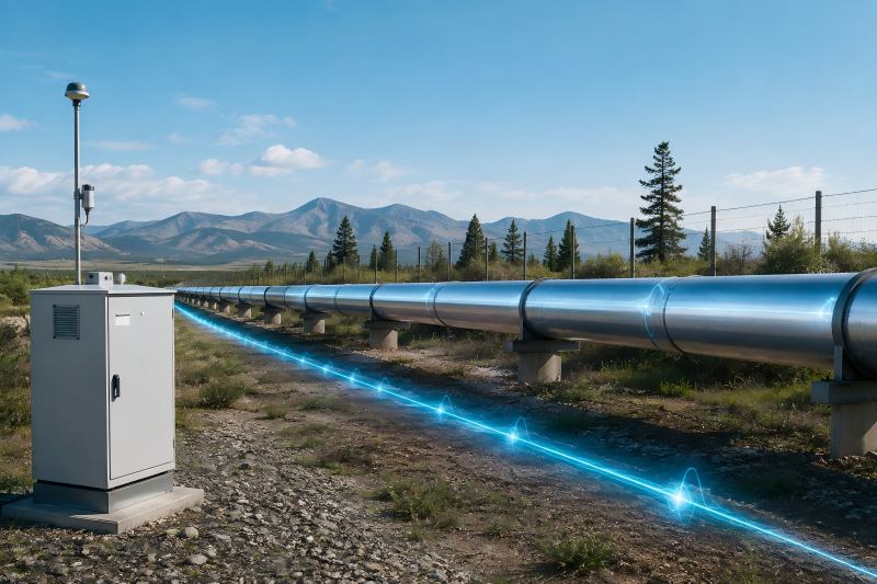
Direct Answer: DAS range normally describes distance along a supported optical path. It does not describe a circular detection radius around the equipment, and it does not automatically equal the length of the protected boundary.
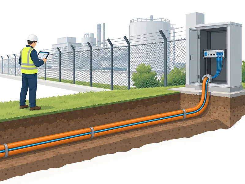
Explanation: Trace the route from the interrogator to its farthest sensing section. Lead-in cable, detours and maintenance loops consume optical distance even where they add little security coverage. Two channels may cover separate paths, so a combined headline figure also needs a per-channel explanation.
Consider an illustrative site with eight kilometres of boundary and two kilometres of cable between the equipment room and the start of that boundary. The design must account for the lead-in as well as the monitored route. The invented dimensions illustrate route accounting; equipment capability still requires its own verification.
Our recommendation is to mark three lengths on every proposal: total connected fiber, physically protected route and sections excluded from intrusion alarming. Their differences reveal much more than a single kilometre figure. The same drawing should identify splice locations and the remote sections selected for testing.
Also ask which functions remain available near the stated limit. A system detecting a large mechanical event at the far end has not necessarily demonstrated the same response to a smaller security event there.
Conditions: Confirm fiber type, link loss, channel arrangement, and operating configuration. Ask whether the advertised range and other performance figures were established together or under separate conditions.
Evidence: AP Sensing’s discussion of DAS measurement range links usable distance to optical conditions and configuration. The relevant project evidence is a trial on the proposed route with the required event types.
Related Article: Our DAS technology overview explains why the optical path forms the sensing axis.
How do channel spacing, gauge length and spatial resolution differ?
Direct Answer: Channel spacing sets the positions at which data is reported. Gauge length describes a measurement interval used by the sensing method. Spatial resolution concerns the ability to distinguish detail along the route. These quantities are related but not interchangeable.
Explanation: A densely sampled output can contain overlapping information. More reported positions do not necessarily create more independent measurements. Buyers should therefore resist converting channel count into a direct claim about the smallest distinguishable event.
An illustrative arrangement might report a value every metre while using a longer gauge length. Adjacent outputs would then share information from overlapping intervals. That can be useful for tracking a response, but it does not prove that two disturbances one metre apart will appear as separate security events.
For procurement, request definitions before comparing numbers. One supplier may state optical spatial resolution, another channel interval, and a third the location accuracy of its alarm classifier. A comparison table becomes misleading if those three quantities occupy the same column.
| Parameter | Question it helps answer | What it cannot prove alone |
| Channel spacing | Where are samples reported? | Independent detail at every sample |
| Gauge length | Over what interval is the response measured? | Final alarm coordinate accuracy |
| Spatial resolution | How much route detail can be distinguished? | Correct event classification |
Conditions: Request the manufacturer’s measurement definition and operating settings. If separating nearby events matters, include that exact scenario in the trial rather than relying on a vocabulary match.
Evidence: Silixa’s iDAS technical description distinguishes configurable spatial sampling from the sensing measurement. Use technical definitions to frame your questions, then verify the proposed equipment independently.
Related Article: See our DAS selection considerations for the wider specification review.
Why is alarm location accuracy different from optical resolution?
Direct Answer: Alarm location accuracy concerns how close the reported event position is to its physical reference. Optical resolution is only one contributor; route mapping, event behaviour and processing also affect the final location.
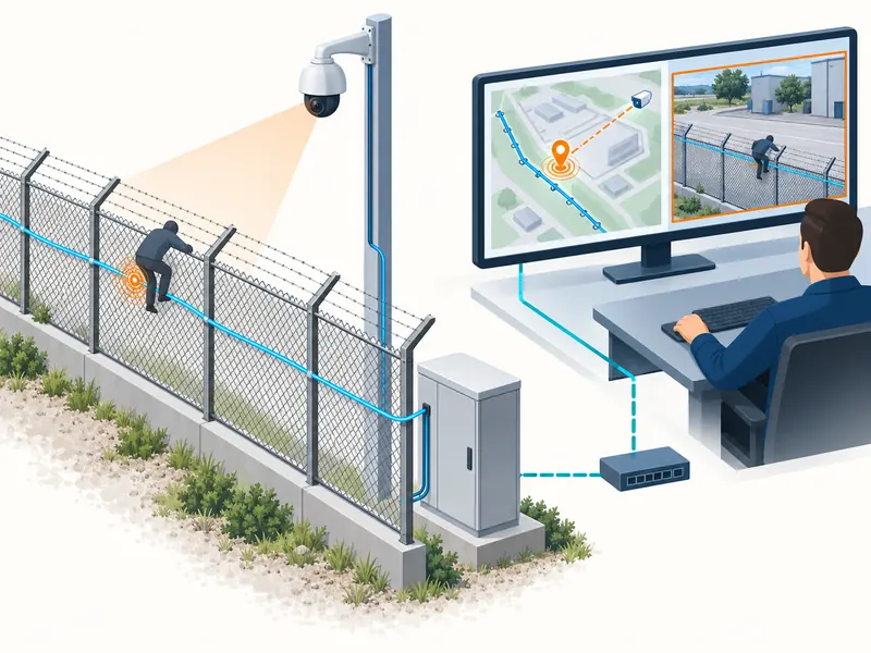
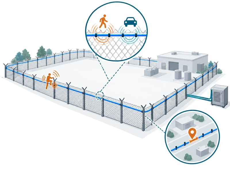
Explanation: The instrument measures along fiber distance, while the guard sees a fence sector or map coordinate. Someone must establish the relationship between those two representations. Cable coils, detours and later repairs can make that relationship non-uniform.
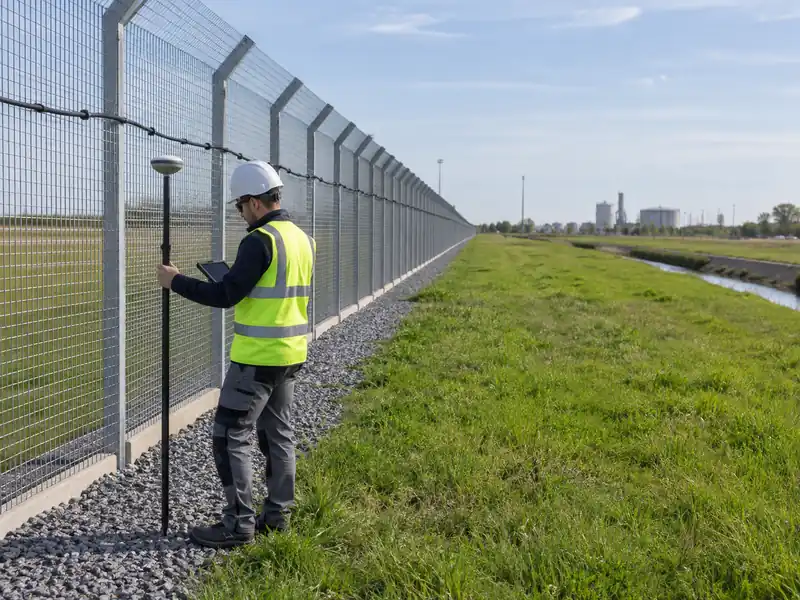
Suppose a cable takes a diversion around a building before returning to the boundary. Simply stretching its optical distance across a straight map line may place alarms incorrectly. The sensible correction is a surveyed mapping process with recognizable reference locations, not a promise that finer sampling will fix the map.
Our practical view is that useful accuracy has an operational meaning. The reported position should guide the operator to the right camera view and the responder to the right approach. A very small laboratory error matters less if the displayed gate name is wrong or access to the location is unclear.
Define the reference point for each test as well. A person climbing a flexible fence may produce vibration across several panels. The test team must agree whether it compares the alarm with the contact point, the strongest vibration point or another documented reference.
Conditions: Require error results across several locations and event types. Specify the statistic being reported, such as a distribution or percentile, instead of accepting an unexplained best-case number.
Evidence: A useful evidence package contains surveyed test coordinates, timestamps, reported positions and the mapping version. Retain outliers: they often reveal the very route transitions that need correction.
Related Article: Review the distributed acoustic sensing fiber optics, then request the conditions behind any stated positioning specification.
Can longer range and finer detail be specified independently?
Direct Answer: Do not assume so. Ask the supplier to demonstrate the required combination of range, detail, event detection and alarm timing in one supported operating configuration.
Explanation: A tender sometimes assembles the most attractive value from every line of a brochure. That produces a specification no one has actually tested as a whole. The risk increases when maximum distance comes from one mode and the smallest resolution figure from another.
The buying question should be framed as a scenario: at the distant fence section, under the stated background conditions, can the system recognize the agreed action and show an actionable position within the allowed time? This combines the parameters around a security outcome.
Different event types can demand different evidence. Recognizing a sustained excavation pattern may involve a different observation period from identifying a sudden impact. A quick response to one should not become an unconditional timing promise for the other.
We suggest keeping a configuration record alongside each demonstration. Include hardware, firmware, analysis settings and cable details. If an adjustment improves detection but increases nuisance alarms, the trade-off should appear in the review rather than disappear behind a new headline value.
Conditions: Require suppliers to state simultaneous performance and any operating restrictions. Test nuisance activity as well as deliberate intrusions so that an aggressive threshold does not make the demonstration look artificially strong.
Evidence: Request a signed test matrix with each event, location, operating mode and result. A collection of unrelated maximum figures cannot substitute for those observations.
Related Article: Our site acceptance testing checklist provides a framework for making those results reviewable.
Which specification should drive the final purchasing decision?
Direct Answer: Start with the response your site requires, then select the measurement detail that supports it. Continuous location information is valuable when operators can turn it into faster verification and a clearer response.
Explanation: On a long perimeter, a broad alarm zone may leave a patrol searching too much ground. At a compact site with distinct sectors and fixed camera views, zone indication may already support an efficient response. The appropriate choice follows the site layout and workflow.
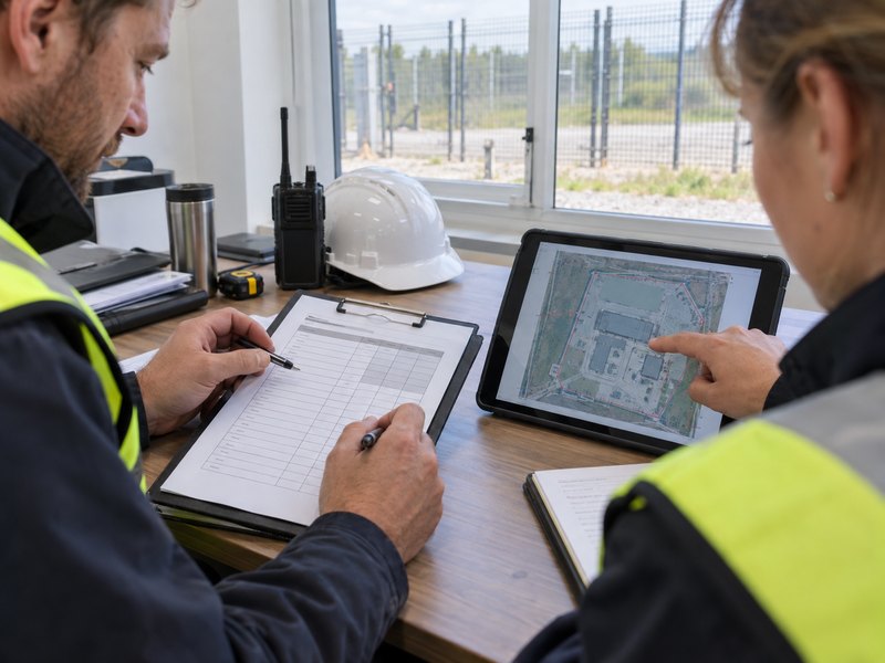
Build a short requirements table before requesting quotations:
- Which intrusion actions must be detected?
- Which physical sections must be covered?
- How much location uncertainty can the camera plan tolerate?
- What alarm timing supports the response procedure?
- How will the complete arrangement be demonstrated?
Our recommended buying principle is to pay for useful information, not impressive numerical density. If the control room cannot use an extra level of location detail, prioritize coverage, integration quality and maintainable mapping. If it can, make that benefit measurable during acceptance.
Keep future changes in view. Fence extensions, camera relocations and cable repairs should trigger a review of the route map and relevant test records. A precise commissioning result is valuable only while the installation still matches the configuration that produced it.
Conditions: Avoid treating a lower-cost zone system as automatically equivalent to continuous DAS. Conversely, avoid assuming that every short perimeter needs the most detailed available sensing architecture.
Evidence: Time an operator’s verification task during representative trials. Record whether the alarm location selects the correct view and whether the response team identifies the intended sector without clarification.
Related Article: Compare the F5 zone-based detection system when sector-level information may satisfy the response requirement.